Farewell to SRTM? A new global elevation model is here!
Over the years, tens of thousands of potential wind farm sites have relied on the excellent Shuttle Radar Topographic Mission (SRTM) data as one of the main data-sources for on-site orography. Many of us are still using SRTM data and more than 50% of all elevation downloads in windPRO are SRTM-30m resolution (1-arc-second) data.
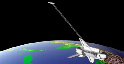
In early 2020, NASA released a new near-global and improved elevation model: NASADEM. NASA re-visited the original telemetry data obtained by Space Shuttle Endeavour in February 2000.
Thus, NASADEM has been produced by re-processing mission data using improved algorithms and any missing (void) areas have been patched with better data sourcesuch as ASTER, ICEsat and national models. The result is an improved dataset over the original SRTM dataset and at 1 arc-second resolution.
We welcome NASADEM – the data and its quality mask are already available in windPRO.
Illustration: Curtesy of NASA/Caltech
