New European Wind Atlas (NEWA) Mesoscale Time Series Data – Now in windPRO
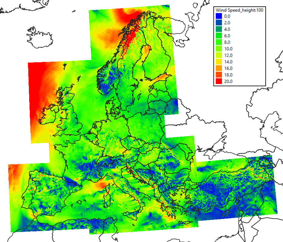
The New European Wind Atlas (NEWA) is a high-resolution mesoscale dataset that was modelled and provided by the NEWA consortium. NEWA was established as an ERANET+ project with a total budget of 13.1 million euros and it was executed over the years 2016-2019. One of the project outcomes was a comprehensive mesoscale model with a spatial coverage of the whole of Europe and Turkey, extending at least 100km from any known coastlines. 10 years of data has been made available in a temporal resolution of 30 minutes. The spatial resolution is 3km. windPRO holds a limited feature subset of the full NEWA mesoscale dataset – but full spatial coverage (1.37 million nodes).
Read more:
For more information on the model’s performance, parameters etc. please click here.
Figure: Spatial domain for the NEWA mesoscale data. Image showing wind speeds on November 17th, 2018.
Source: Data obtained from the “New European Wind Atlas, a free, web-based application developed, owned and operated by the NEWA Consortium.
For additional information click here.
