windPRO France: Very High-Resolution Elevation Models
We are excited to announce a major enhancement to the windPRO Elevation Models for France Mainland and Overseas Territories!
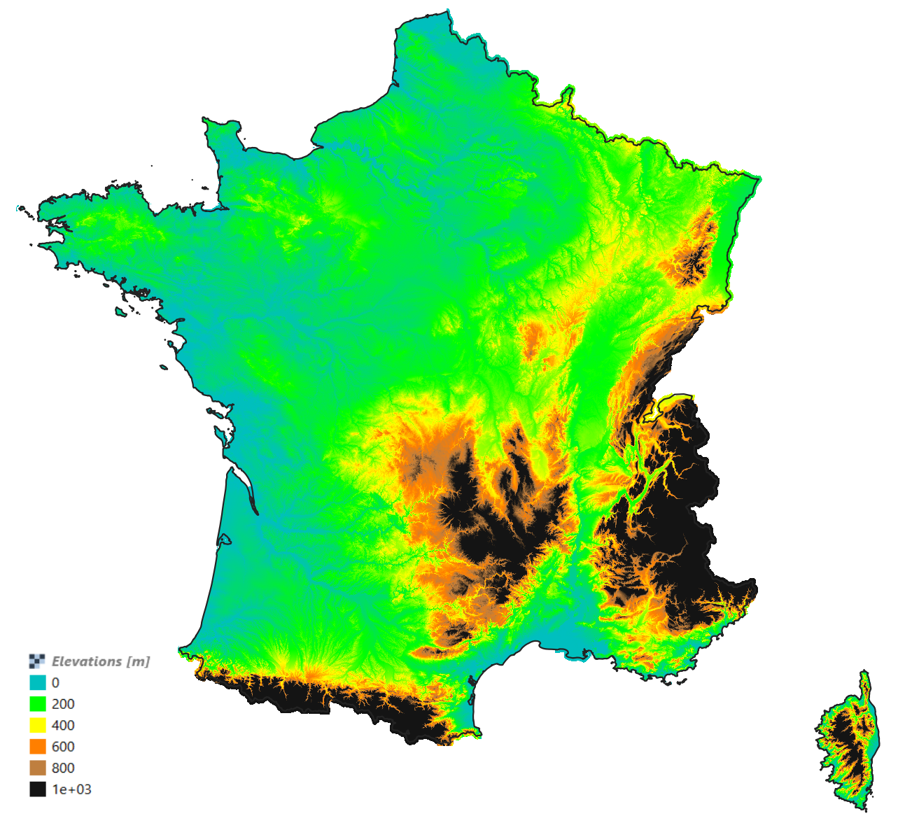
As of March 2025, our online data team has integrated 1-meter resolution DTM data from IGN (Institut National de l’Information Géographique et Forestière). This builds upon the previous addition of 5m and 25m datasets in 2021 and is now accessible to all windPRO users with an active service subscription.
What does this mean for the user?
This high-precision elevation data will significantly enhance project accuracy, particularly for:
- Camera Object calibration
- Photomontages and close-up visual representations
- PV plant visualizations and SketchUp integration ️
- More detailed terrain analysis for wind and solar projects
Expert insight
Laurent Chamerois, EMD France, shares his thoughts on this update:
“We are pleased to announce the integration of the 1-meter resolution IGN reference DTM dataset (RGE ALTI v2.0) into windPRO’s French Elevation Models. This improvement was highly anticipated by our users, as it enhances photomontage precision and streamlines workflows, leading to improved daily performance.”
Acknowledgements
We extend our gratitude to IGN and the regions of Auvergne-Rhône-Alpes, Bretagne, and Nord-Pas de Calais for producing and sharing these datasets under an open-data license.
Learn more
For further details on this update, visit our windPRO Knowledgebase: French Elevation Models
Thank you for being part of the windPRO community! Stay tuned for more updates.