windPRO Germany – New datasets in Mecklenburg-Vorpommern
Elevate your modeling of renewable energy plants with the latest elevation data for Mecklenburg-Vorpommern (MV) in windPRO!
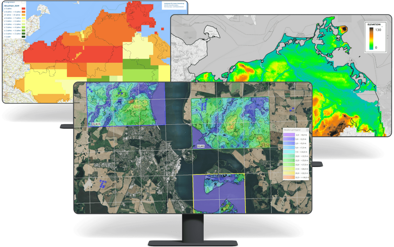
Mecklenburg-Vorpommern
(derived from Landesamtes für innere Verwaltung Mecklenburg-Vorpommern (LAiV)
What you gain:
✅ FREE High-resolution digital terrain models for Mecklenburg-Vorpommern
✅ High precision: Models with 1m, 5m, and 25m grid resolutions
✅ State-of-the-art data: Most recent data – procured June 2024 – based on aerial lidar-scans and optical stereo-imagery from the recent 10 years
✅ Ease of use: windPRO datasets optimized for photomontage, wind flow analysis and environmental impact analysis
Learn more here: https://help.emd.dk/mediawiki/index.php/German_Mecklenburg-Vorpommern_Elevation_Models